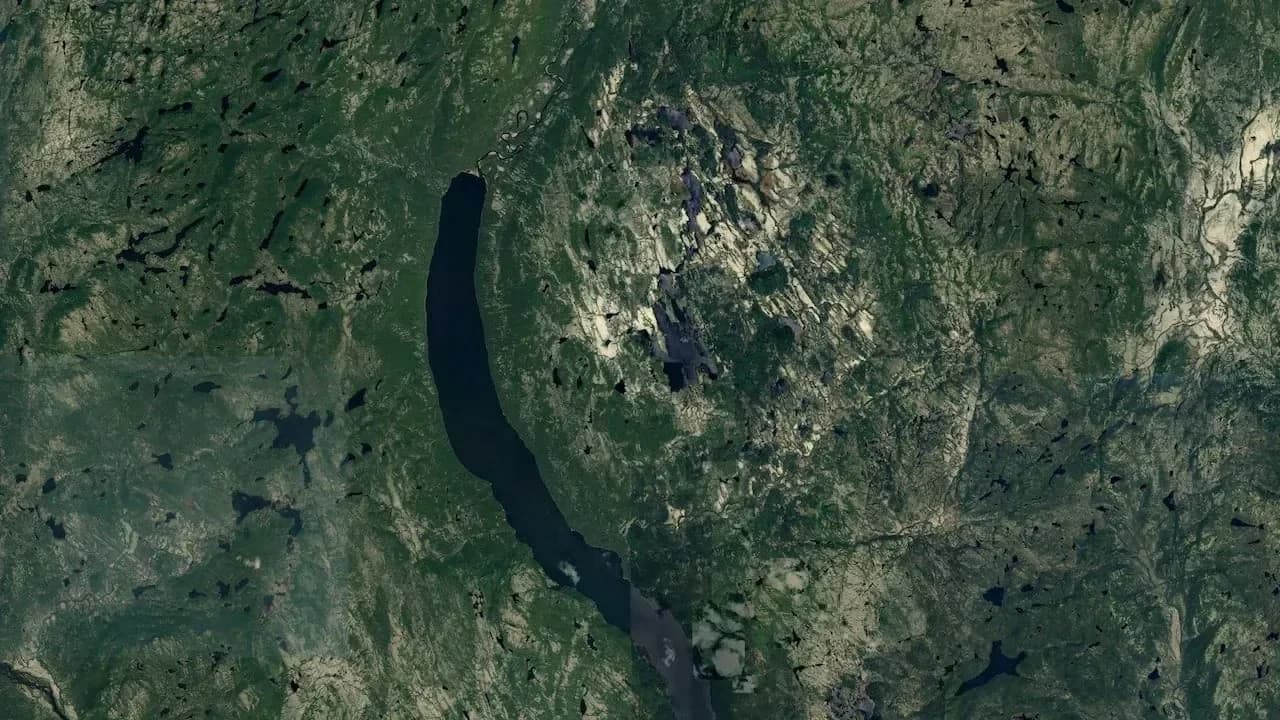
The Uhackatik crater, in Quebec, is an impact structure 25 kilometres across, gouged out roughly 390 million years ago. Spotted in 2024 on Google Maps by amateur enthusiast Joël Lapointe, it was confirmed by geologists at the end of 2025. It's one of the largest impact craters identified on Earth in years.
The satellite image discovery
In 2024, Joël Lapointe was planning a camping trip to Quebec's Côte-Nord. On Google Maps, his cursor landed on a circular pattern too regular to be a simple lake.
The circle lies near Lac Marsal, around a hundred kilometres north of Magpie, in a roadless forested area. For hundreds of millions of years, this giant hole stayed hidden from view at ground level, buried in the boreal forest. It took a view from the sky to give it away.
The amateur astronomer reported his find. A team of French researchers presented it to the Meteoritical Society in 2024, and planetary geologist Gordon Osinski, of Western University, led an expedition to the site in October 2025. The rocks delivered their verdict: impact confirmed.
What an impact crater actually is
An impact crater forms when a meteorite strikes the ground at several kilometres per second. The shock pulverises the rock, gouges out a basin, and the centre then rebounds to form a peak: the central uplift, a hallmark of large complex craters like Uhackatik.
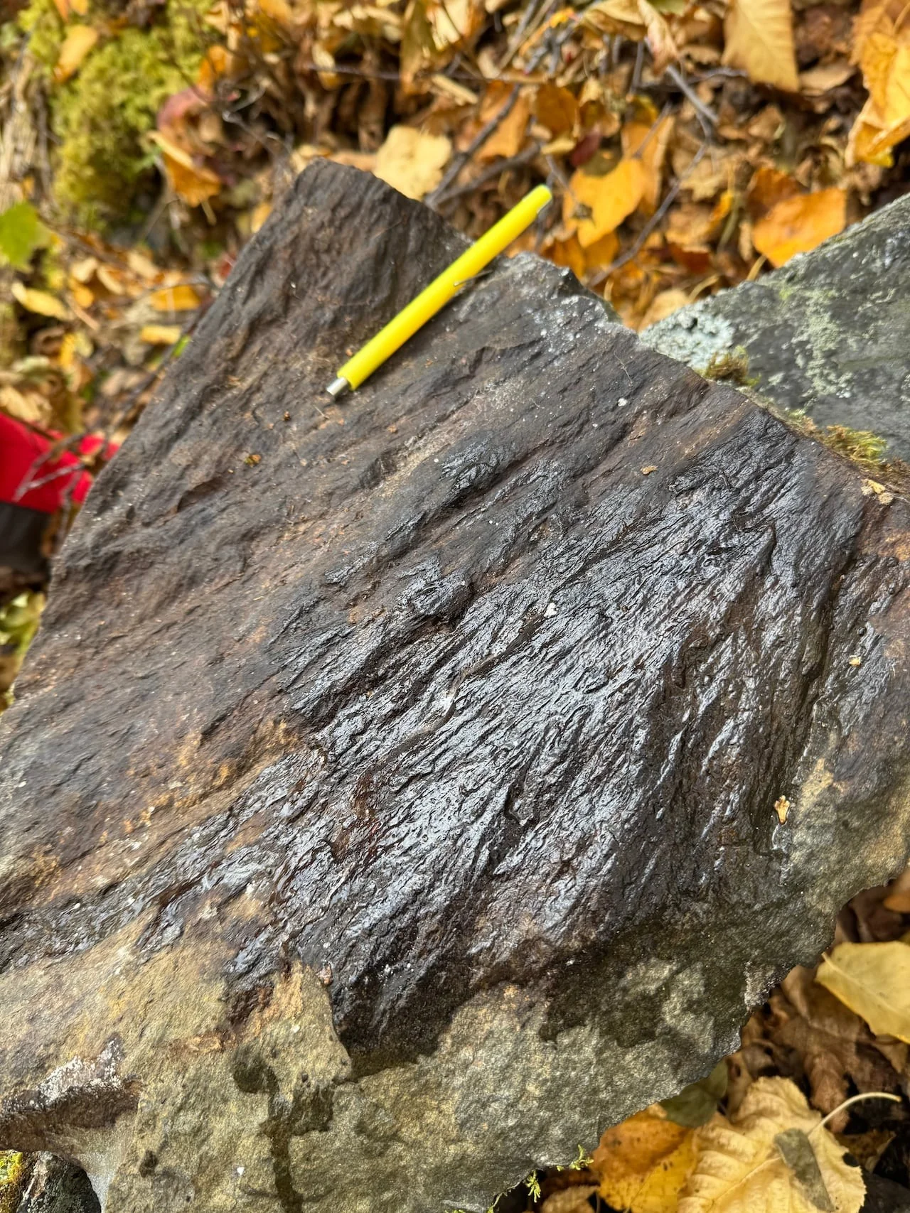
The telltale proof is shatter cones. These fan-shaped fractures are etched into the rock by the shock wave. Gordon Osinski describes them as the only evidence of impact visible to the naked eye in the field. A volcanic crater, by contrast, never produces them.
How scientists spot them today
Earth has only around 200 confirmed impact craters, a tiny number compared with the scars pockmarking the Moon or Mars. Our planet erases its own: erosion, vegetation, oceans and tectonics cover them over.
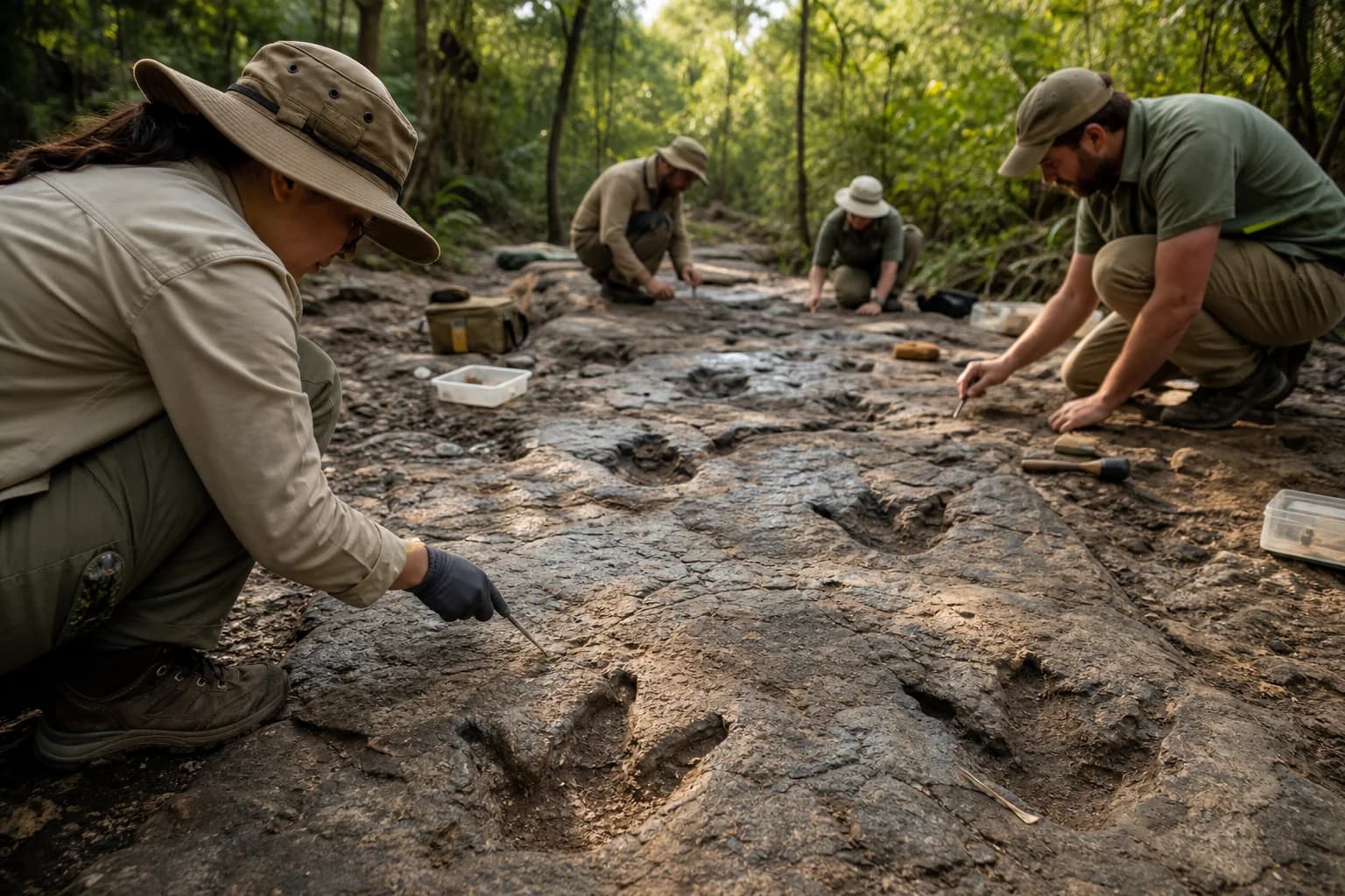
Satellite imagery has changed everything. A suspicious circle spotted from your sofa can then point geologists towards the field. No telescope, no costly expedition needed at first: the same maps you check for your holidays are enough to kick off the trail. On site, researchers hunt for shatter cones and shock-melted rock, and date the event using lead isotopes on zircon crystals. Uhackatik becomes the largest crater identified since the Hiawatha structure, found beneath Greenland's ice in 2018.
What still needs confirming
The age of 390 million years remains an estimate, within a range of 370 to 400 million years. Formal recognition by the Meteoritical Society committee, the body that validates impact structures, has not yet been secured. So some caution is needed before calling it an "official" crater.
The name Uhackatik was chosen together with the Innu Council of Ekuanitshit, guardians of this land. Researchers believe hundreds of other craters may still lie hidden beneath our forests. To explore more family-friendly geological wonders, our nature section features plenty. The next crater might already be hiding under your cursor.